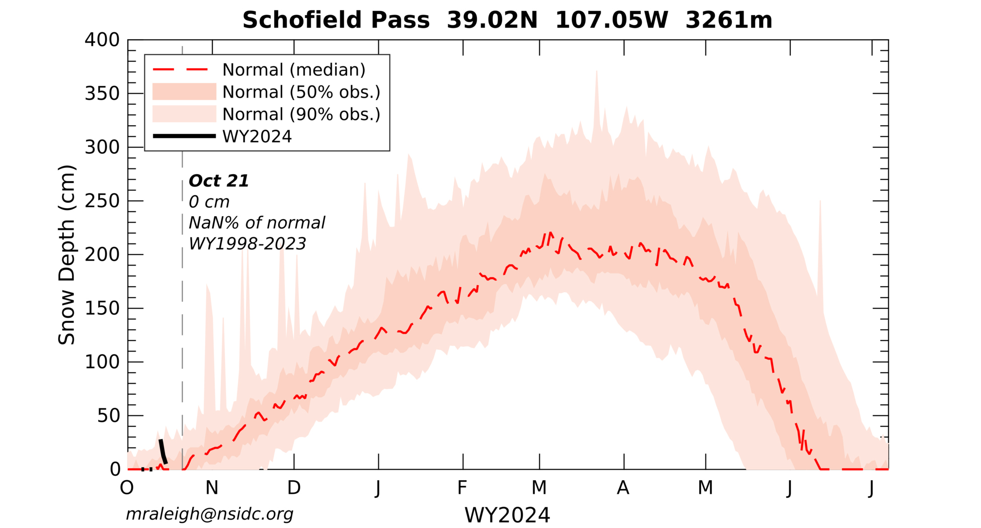
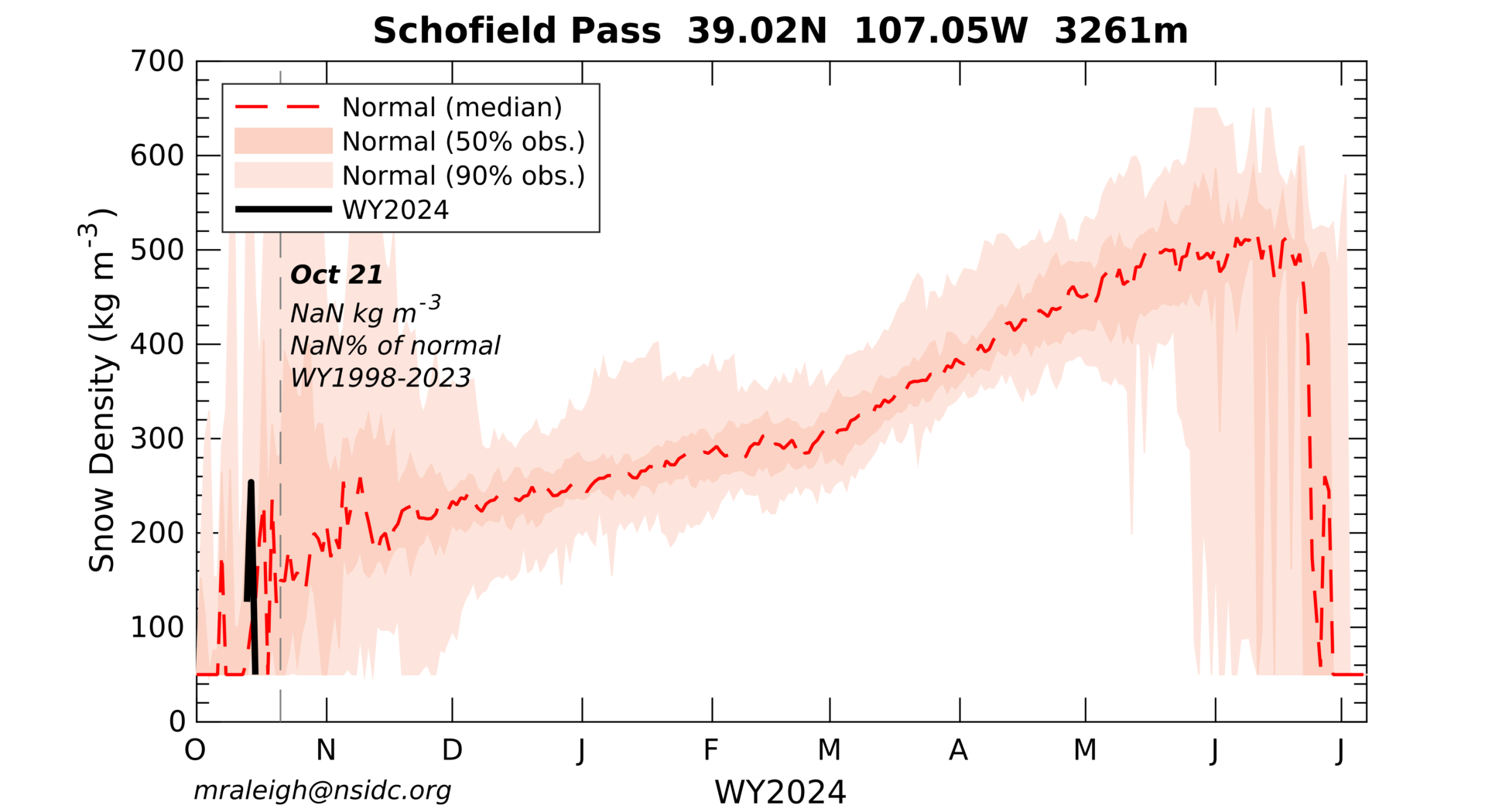
Snodgrass Mtn., CO
Open Weather Station (3132 m || 10276 ft)
....click here to view the Forest station
| Download Latest Provisional Data***: | |
|
Data use policy: If you would like to use these data, we request that you contact us to discuss your plans. Additionally, we request that you review and cite Bonner et al. (2022) in any scholarly publications or products. |
|
| Open Site, Hourly: | SND_opn_AWS_data_001hr.csv |
| Open Site, Daily: | SND_opn_AWS_data_001day.csv |
| Open Site, Metadata : | SND_opn_AWS_data_meta.txt |
| Forest Site, Hourly: | SND_for_AWS_data_001hr.csv |
| Forest Site, Daily: | SND_for_AWS_data_001day.csv |
| Forest Site, Metadata : | SND_for_AWS_data_meta.txt |
|
***last update***: December 18, 2024 |
|
|
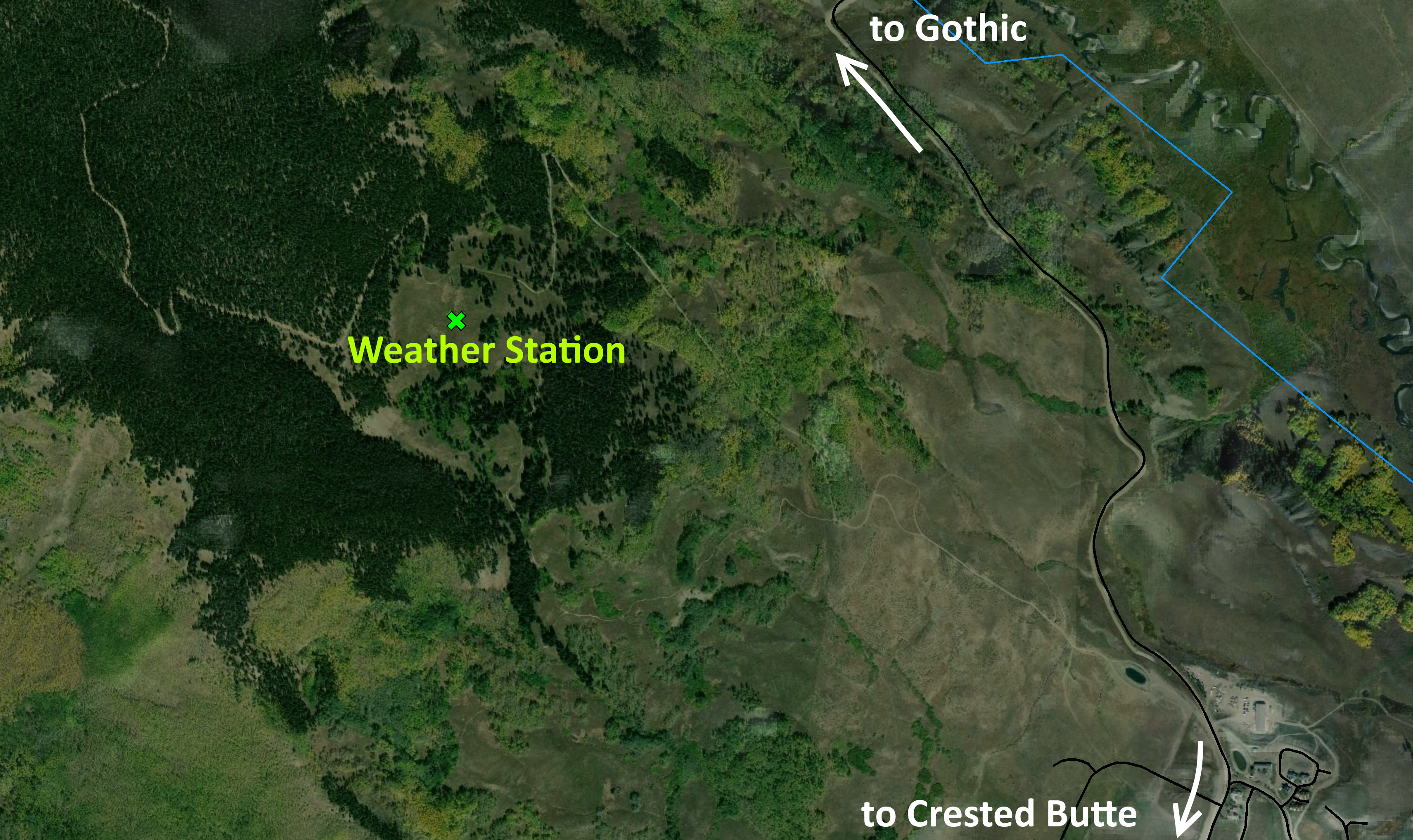
Site Map: |
|
 |
|
|
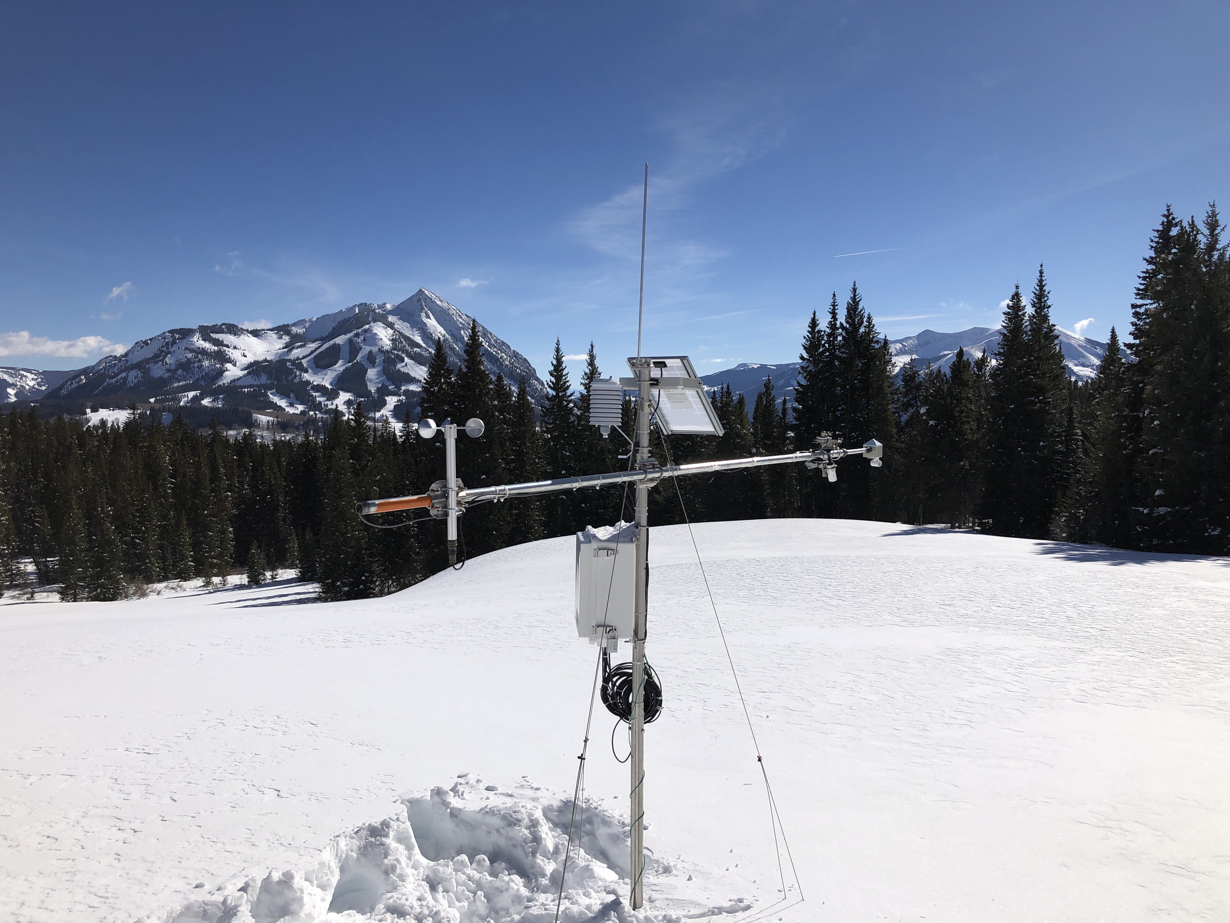
Station Photo: |
|
 |
|
| Sensors: | |
| Air Temperature & Humidity: | EE-181 (Campbell Scientific) |
| Wind Speed: | 014A (Met One) |
| Snow Depth: | Ultrasonic Depth Sensor (Judd) |
| Inc. Shortwave Radiation: | SP-510 Thermopile Pyranometer (Apogee) |
| Ref. Shortwave Radiation: | SP-610 Thermopile Pyranometer (Apogee) |
| Inc. Longwave Radiation: | SL-510 Thermopile Pyrgeometer (Apogee) |
| IR Surface Temperature: | SI-121 Infrared Radiometer (Apogee) |
| Investigators, Collaborators, & Funding: | |
| CU Geological Sciences |  |
| Oregon State University |  |
| DOE Watershed Function Scientific Focus Area |  |
| Rocky Mountain Biological Laboratory |  |
| Funding: | NSF Hydrologic Sciences, NASA THP/SnowEx, DOE Office of Science |
| Contact: | Dr. Mark Raleigh, raleigma -at sign- oregonstate -dot- edu |
| Disclaimers: | This material is based upon work supported by the National Science Foundation under Grant Number 1761441. Any opinions, findings, and conclusions or recommendations expressed in this material are those of the author(s) and do not necessarily reflect the views of the National Science Foundation. |
